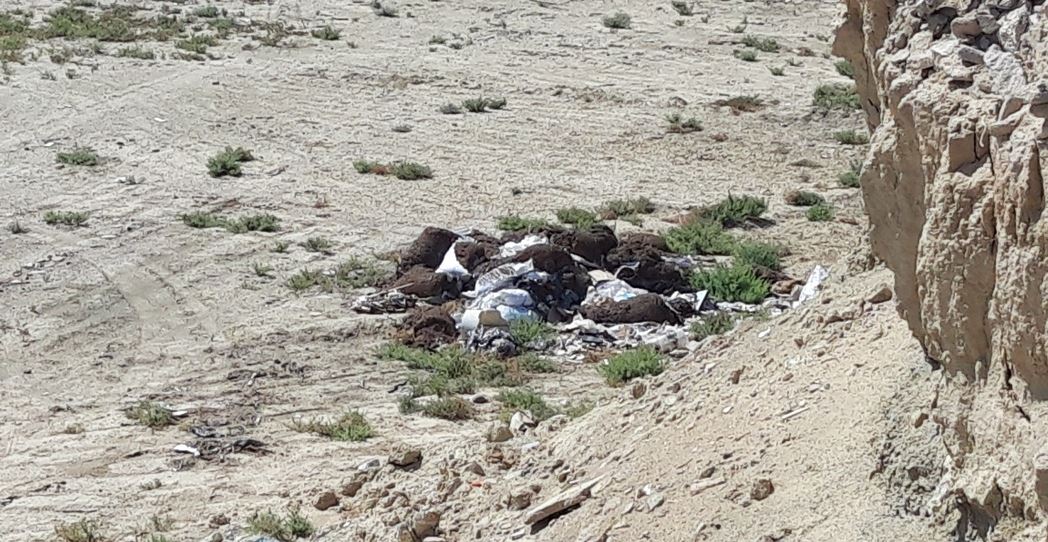
In 2019, as part of the program “Ensuring the preservation and expansion of the use of space infrastructure” of the subprogram “Services for the provision of space images to state bodies and organizations received from the space remote sensing system of the Earth of the Republic of Kazakhstan” on the order of “National company “Kazakhstan Gharysh Sapary” JSC were carried out territorial surveys of buffer zone 50 kilometers from the borders of the settlements, including Nur-Sultan and Akmola region, Almaty and Almaty region, Shymkent and Turkestan region, Kokshetau and Akmola region, Kostanay and Kostanay region, Petropavlovsk and North Kazakhstan region, Pavlodar and Pavlodar region, Ust-Kamenogorsk and East Kazakhstan region, Taldykorgan and Almaty region, Taraz and Zhambyl region, Turkestan and Turkmenistan region, Kyzylorda and Kyzylorda region, Aktau and Mangistau region, Atyrau and Atyrau region, Uralsk and West Kazakhstan region, Aktobe and Aktyubinsk region, Karaganda and Karaganda region.
